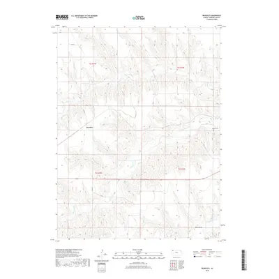
2018 Map of Beardsley
USGS Topo · Published 2018About this map
Beardsley serves as the central settlement in this portion of Rawlins County, situated among the high plains drainage systems of the Republican River basin. The landscape is defined by the winding paths of N Beaver Cr, Little Beaver Cr, and the primary Beaver Cr to the southeast. These watercourses have carved distinct valleys into the terrain, creating a network of draws and ridges that dictated the placement of early infrastructure. Rural life is anchored by family and community landmarks such as the Blakeman Cem, located east of the main town site. A grid of section-line roads, including Co Rd 407 and Brook Creek Rd, facilitates travel across the township boundaries of t2s r35w and t3s r34w, reflecting the enduring Public Land Survey System layout of Western Kansas.
Find a feature on this map
19 named features on this map. Tap any name to fly to it.
Don’t see what you’re looking for? This feature index may not catch every label — zoom into the map to look around manually.
Map Details
Editions of this 2018 Beardsley Map
This is the sole edition of this map. No revisions or reprints were ever made.
Other maps of this area

1950 · Mc Donald
USGS Topo · 1:62,500

1951 · Mc Donald
USGS Topo · 1:62,500

1951 · Atwood
USGS Topo · 1:62,500

1951 · Chardon
USGS Topo · 1:62,500

1951 · Dewey Ranch
USGS Topo · 1:62,500

1954 · Goodland
USGS Topo · 1:250,000

1956 · Goodland
USGS Topo · 1:250,000

1957 · Goodland
USGS Topo · 1:250,000
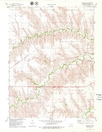
1978 · Beardsley
USGS Topo · 1:24,000
1978 · Atwood
USGS Topo · 1:24,000