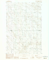
1983 Map of Bearshack Creek
USGS Topo · Published 1983About this map
Bearshack Creek flows through this high plains drainage system along the boundary of McCone and Prairie Counties. The landscape is defined by a network of seasonal watercourses and prominent topographic markers like Lower Summit. Numerous creek systems converge and diverge across the terrain, including Tusler Creek and Dry Ash Creek, illustrating the natural drainage patterns of this Montana interior. The southern portion of the map traces the upper reaches of Bad Route Creek and the confluence of its Middle Fork. The map's detail on ranch tracks and drainage forks reflects a region dominated by large-scale grazing and natural watershed boundaries during the late 1970s and early 1980s.
Find a feature on this map
10 named features on this map. Tap any name to fly to it.
Don’t see what you’re looking for? This feature index may not catch every label — zoom into the map to look around manually.
Map Details
Editions of this 1983 Bearshack Creek Map
2 editions found
Other maps of this area

1954 · Glendive
USGS Topo · 1:250,000

1957 · Glendive
USGS Topo · 1:250,000

1958 · Glendive
USGS Topo · 1:250,000

1982 · Circle
USGS Topo · 1:100,000
1983 · Becker Dam
USGS Topo · 1:24,000
1983 · Big Sheep Mountain
USGS Topo · 1:24,000
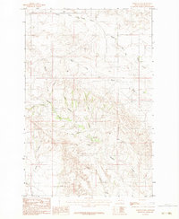
1983 · North Coulee
USGS Topo · 1:24,000

1983 · Mount Antelope
USGS Topo · 1:24,000

1983 · Quick Reservoir
USGS Topo · 1:24,000
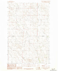
1983 · Big Sheep Mountain NW
USGS Topo · 1:24,000