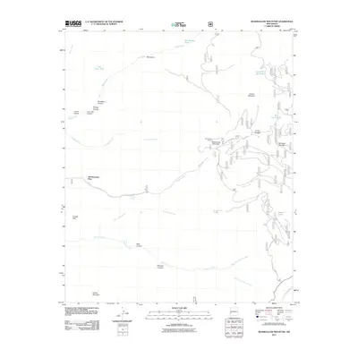
2011 Map of Bearwallow Mountain
USGS Topo · Published 2011About this map
Old Waterman Place serves as a lone historical marker of habitation in this high-elevation landscape within the Gila National Forest area. The terrain is defined by a complex drainage system where Bearwallow Creek, Copper Creek, and Mineral Creek carve through the high country. Strategic fire management and observation points are central to the region, anchored by the Bearwallow Lookout atop Bearwallow Mountain.
Find a feature on this map
37 named features on this map. Tap any name to fly to it.
Don’t see what you’re looking for? This feature index may not catch every label — zoom into the map to look around manually.
Map Details
Editions of this 2011 Bearwallow Mountain Map
This is the sole edition of this map. No revisions or reprints were ever made.
Other maps of this area

1910 · Mogollon
USGS Topo · 1:125,000

1912 · Mogollon
USGS Topo · 1:125,000

1915 · Reserve
USGS Topo · 1:125,000

1918 · Reserve
USGS Topo · 1:125,000

1954 · Clifton
USGS Topo · 1:250,000

1957 · Clifton
USGS Topo · 1:250,000

1958 · Clifton
USGS Topo · 1:250,000

1962 · Clifton
USGS Topo · 1:250,000

1963 · Bearwallow Mountain
USGS Topo · 1:24,000

1963 · Negrito Mountain
USGS Topo · 1:24,000