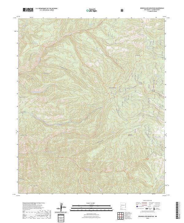
2023 Map of Bearwallow Mountain
USGS Topo · Published 2023About this map
The Mogollon Mountains dominate this high-elevation landscape within the Gila National Forest, where steep canyons and volcanic peaks define the terrain. Notable features like Bearwallow Mtn and Cooney Peak are connected by a network of forest service routes, including the Bearwallow Lookout Rd. The area is characterized by its complex drainage systems, with Mineral Creek and Bearwallow Creek carving through the mountains. Small wetlands and livestock water sources, such as Turkey Cienega, Bill Lewis Cienega, and Hogwallow Pit Tank, are scattered throughout the region, reflecting the land's utility for seasonal grazing. This survey provides a contemporary view of the Gila Wilderness boundary, showing the enduring primitive nature of the terrain through named landmarks like Savage Canyon and Gooseberry Canyon.
Find a feature on this map
50 named features on this map. Tap any name to fly to it.
Don’t see what you’re looking for? This feature index may not catch every label — zoom into the map to look around manually.
Map Details
Editions of this 2023 Bearwallow Mountain Map
This is the sole edition of this map. No revisions or reprints were ever made.
Other maps of this area

1910 · Mogollon
USGS Topo · 1:125,000

1912 · Mogollon
USGS Topo · 1:125,000

1915 · Reserve
USGS Topo · 1:125,000

1918 · Reserve
USGS Topo · 1:125,000

1954 · Clifton
USGS Topo · 1:250,000

1957 · Clifton
USGS Topo · 1:250,000

1958 · Clifton
USGS Topo · 1:250,000

1962 · Clifton
USGS Topo · 1:250,000

1963 · Bearwallow Mountain
USGS Topo · 1:24,000

1963 · Negrito Mountain
USGS Topo · 1:24,000