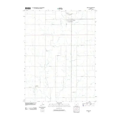
2009 Map of Beattie
USGS Topo · Published 2009About this map
Beattie serves as the primary population center in this northern Kansas landscape, characterized by a grid of agricultural section roads and a network of wandering prairie streams. The town’s community history is anchored by Beattie Union Cemetery and Saint Malachys Cemetery, both situated north of the main settlement. Further south, the map details the small community of Winifred, located near the banks of Perkins Creek.
Find a feature on this map
32 named features on this map. Tap any name to fly to it.
Don’t see what you’re looking for? This feature index may not catch every label — zoom into the map to look around manually.
Map Details
Editions of this 2009 Beattie Map
This is the sole edition of this map. No revisions or reprints were ever made.
Other maps of this area

1889 · Seneca
USGS Topo · 1:125,000

1889 · Marysville
USGS Topo · 1:125,000

1894 · Seneca
USGS Topo · 1:125,000

1894 · Marysville
USGS Topo · 1:125,000

1955 · Manhattan
USGS Topo · 1:250,000

1956 · Manhattan
USGS Topo · 1:250,000

1957 · Manhattan
USGS Topo · 1:250,000

1966 · Oketo
USGS Topo · 1:24,000

1966 · Axtell
USGS Topo · 1:24,000

1966 · Home
USGS Topo · 1:24,000