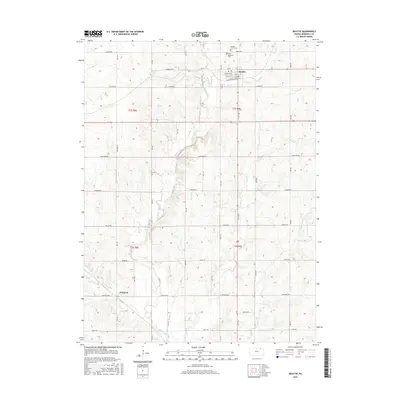
2016 Map of Beattie
USGS Topo · Published 2016About this map
Beattie serves as the primary hub of this northern Kansas landscape, centered at the intersection of Elm St and Main St. The town's religious and community history is anchored by Saint Malachys Cem and the Beattie Union Cem to the north, while the rural surrounding sections are dotted with more isolated burial grounds like Life Cem. The drainage patterns of Marshall County are clearly defined by the winding course of Wolf Cr near the settlement and the extensive reach of Robidoux Creek, which snakes through the western townships.
Find a feature on this map
28 named features on this map. Tap any name to fly to it.
Don’t see what you’re looking for? This feature index may not catch every label — zoom into the map to look around manually.
Map Details
Editions of this 2016 Beattie Map
This is the sole edition of this map. No revisions or reprints were ever made.
Other maps of this area

1889 · Seneca
USGS Topo · 1:125,000

1889 · Marysville
USGS Topo · 1:125,000

1894 · Seneca
USGS Topo · 1:125,000

1894 · Marysville
USGS Topo · 1:125,000

1955 · Manhattan
USGS Topo · 1:250,000

1956 · Manhattan
USGS Topo · 1:250,000

1957 · Manhattan
USGS Topo · 1:250,000

1966 · Oketo
USGS Topo · 1:24,000

1966 · Axtell
USGS Topo · 1:24,000

1966 · Home
USGS Topo · 1:24,000