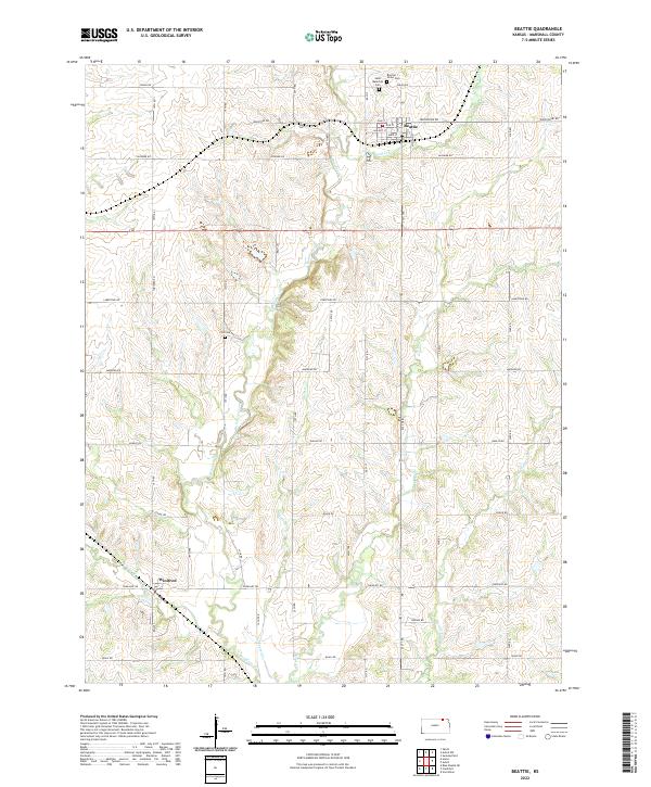
2022 Map of Beattie
USGS Topo · Published 2022About this map
Beattie sits at the northern edge of this 2022 survey, serving as a primary settlement node along the Wolf Cr drainage. The local geography is defined by a dense network of waterways including Robidoux Creek, Skeeter Cr, and Snipe Cr, which carve through the landscape of Marshall County. The town of Winifred appears in the southwest, while the rural stretches between these hubs are marked by family-history sites such as the Beattie Union Cem, Saint Malachys Cem, and the more isolated Life Cem. A grid of named roads like Matador Rd and Ironstone Rd provides access to the interior, reflecting a persistent agrarian structure that has organized this section of Kansas for generations.
Find a feature on this map
31 named features on this map. Tap any name to fly to it.
Don’t see what you’re looking for? This feature index may not catch every label — zoom into the map to look around manually.
Map Details
Editions of this 2022 Beattie Map
This is the sole edition of this map. No revisions or reprints were ever made.
Other maps of this area

1889 · Seneca
USGS Topo · 1:125,000

1889 · Marysville
USGS Topo · 1:125,000

1894 · Seneca
USGS Topo · 1:125,000

1894 · Marysville
USGS Topo · 1:125,000

1955 · Manhattan
USGS Topo · 1:250,000

1956 · Manhattan
USGS Topo · 1:250,000

1957 · Manhattan
USGS Topo · 1:250,000

1966 · Oketo
USGS Topo · 1:24,000

1966 · Axtell
USGS Topo · 1:24,000

1966 · Home
USGS Topo · 1:24,000