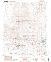
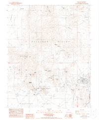
1987 Map of Beatty
USGS Topo · Published 1998About this map
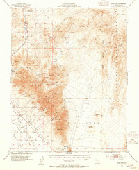
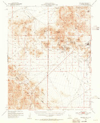
Rhyolite stands as a prominent focal point on this Nevada survey, illustrating the layout of this famed mining community and its surrounding landscape. Nearby, the Bullfrog (Site) and landmarks such as the National Bank on Ladd Mountain evoke the early 20th-century gold rush era. The terrain is dominated by the Bullfrog Hills, where numerous extractive sites like the Montgomery-Shoshone Mine and Denver Mine are documented alongside a network of an Old RR Grade and modern four-wheel-drive trails.
Find a feature on this map
55 named features on this map. Tap any name to fly to it.
Don’t see what you’re looking for? This feature index may not catch every label — zoom into the map to look around manually.
Map Details
Editions of this 1987 Beatty Map
2 editions found
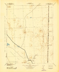
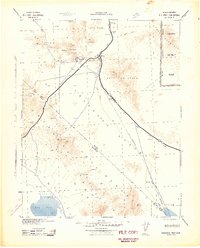
Other maps of this area

1908 · Kawich
USGS Topo · 1:250,000

1908 · Furnace Creek
USGS Topo · 1:250,000

1910 · Furnace Creek
USGS Topo · 1:250,000
1942 · Tolicha Peak
USGS Topo · 1:125,000
1942 · Bullfrog
USGS Topo · 1:125,000

1948 · Death Valley
USGS Topo · 1:250,000
1954 · Bare Mtn
USGS Topo · 1:62,500
1954 · Bullfrog
USGS Topo · 1:62,500

1954 · Death Valley
USGS Topo · 1:250,000

1954 · Goldfield
USGS Topo · 1:250,000