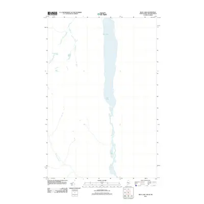
2011 Map of Beau Lake
USGS Topo · Published 2011About this map
Beau Lake dominates the center of this remote borderland landscape in Big Twenty Township, Maine, where the international boundary between the United States and Canada follows the water's path. The map details a complex system of waterways and basins that define the local drainage patterns. To the south, the lake narrows significantly before broadening into Cross Lake and eventually reaching Glazier Lake. This network of interconnected water bodies is fed by smaller tributaries, including Jones Brook and the distinctively named Yankeetuladi Brook. The terrain west of the main lakes is dotted with secluded water features such as Yankeetuladi Pond and Mud Pond, illustrating the high-latitude wetland and forest environment typical of this northernmost stretch of Maine's Aroostook region in the early 21st century.
Find a feature on this map
7 named features on this map. Tap any name to fly to it.
Don’t see what you’re looking for? This feature index may not catch every label — zoom into the map to look around manually.
Map Details
Editions of this 2011 Beau Lake Map
This is the sole edition of this map. No revisions or reprints were ever made.
Other maps of this area

1930 · Allagash
USGS Topo · 1:48,000

1930 · St Francis
USGS Topo · 1:48,000

1933 · Allagash
USGS Topo · 1:62,500

1933 · St Francis
USGS Topo · 1:62,500

1955 · Beau Lake
USGS Topo · 1:62,500

1962 · Edmundston
USGS Topo · 1:250,000
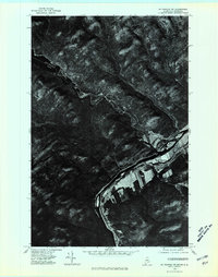
1975 · St Francis NW
USGS Topo · 1:24,000
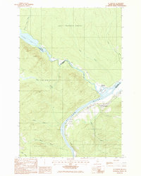
1985 · St. Francis
USGS Topo · 1:24,000
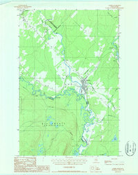
1986 · Landry
USGS Topo · 1:24,000

1987 · Beau Lake
USGS Topo · 1:24,000