
1949 Map of Beaufort
USGS Topo · Published 1964About this map
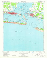
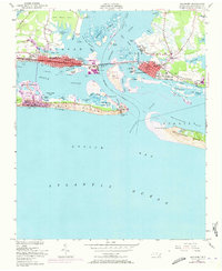
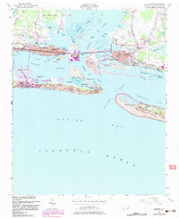
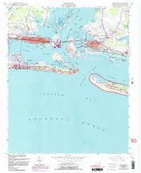
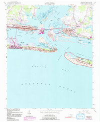
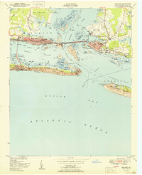
Fort Macon stands at the eastern tip of Bogue Banks, guarding the Beaufort Inlet as it did during the mid-20th century. This coastal landscape is defined by the twin hubs of Morehead City and Beaufort, linked by the Atlantic and East Carolina railroad crossing the Newport River. The map captures a maritime economy in transition, featuring the Port Terminal and the US Marine Biological Sta on Pivers Island.
Find a feature on this map
70 named features on this map. Tap any name to fly to it.
Don’t see what you’re looking for? This feature index may not catch every label — zoom into the map to look around manually.
Map Details
Editions of this 1949 Beaufort Map
6 editions found
Other maps of this area

1949 · Newport
USGS Topo · 1:24,000

1949 · Williston
USGS Topo · 1:24,000

1949 · Harkers Island
USGS Topo · 1:24,000

1949 · Mansfield
USGS Topo · 1:24,000

1949 · Core Creek
USGS Topo · 1:24,000

1951 · Williston
USGS Topo · 1:24,000

1951 · Newport
USGS Topo · 1:24,000

1951 · Core Creek
USGS Topo · 1:24,000
1951 · Peltier Creek
USGS Topo · 1:24,000
1951 · Beaufort
USGS Topo · 1:24,000