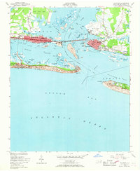
1949 Map of Beaufort
USGS Topo · Published 1968About this map
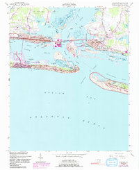
Bogue Banks and Shackleford Banks frame the entrance to the Beaufort Inlet, a landscape defined by its maritime industry and coastal defenses just after the war. In Morehead City, the Atlantic and East Carolina railroad terminates at the substantial Port Terminal, while the US Marine Biological Sta on Pivers Island highlights the area's long-standing connection to marine research. Across the Newport River lies Beaufort, where the residential street grid gives way to Ocean View Cem and the small settlement of Lenoxville. The map captures the strategic importance of Fort Macon State Park guarding the inlet, alongside developing recreational areas like Atlantic Beach and Money Island Beach. Inland, the marshy fingers of Calico Creek and Crab Point Bay illustrate the complex interplay of land and water that shaped the growth of these historic Carteret County ports.
Find a feature on this map
72 named features on this map. Tap any name to fly to it.
Don’t see what you’re looking for? This feature index may not catch every label — zoom into the map to look around manually.
Map Details
Editions of this 1949 Beaufort Map
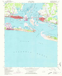
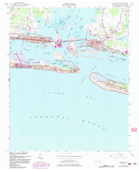
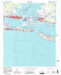
6 editions found
Other maps of this area

1949 · Beaufort
USGS Topo · 1:24,000

1949 · Newport
USGS Topo · 1:24,000

1949 · Williston
USGS Topo · 1:24,000

1949 · Harkers Island
USGS Topo · 1:24,000

1949 · Mansfield
USGS Topo · 1:24,000

1949 · Core Creek
USGS Topo · 1:24,000

1951 · Williston
USGS Topo · 1:24,000

1951 · Newport
USGS Topo · 1:24,000

1951 · Core Creek
USGS Topo · 1:24,000
1951 · Peltier Creek
USGS Topo · 1:24,000