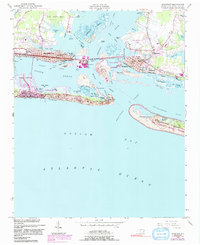
1949 Map of Beaufort
USGS Topo · Published 1991About this map
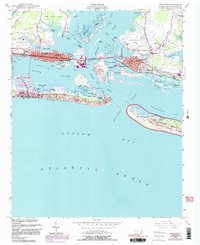
Fort Macon State Park anchors the eastern tip of the barrier island, guarding the entrance to Beaufort Inlet and the complex waterways of Bogue Sound. This coastal landscape at the mid-century reveals the strategic maritime and industrial layout of Morehead City and Beaufort, linked by The Causeway and the Atlantic and East Carolina railroad. The map highlights the bustling Port Terminal on Radio Island and the specialized infrastructure supporting the region's growth, from the Beaufort-Morehead City Airport to the historic battery at Ft Macon.
Find a feature on this map
65 named features on this map. Tap any name to fly to it.
Don’t see what you’re looking for? This feature index may not catch every label — zoom into the map to look around manually.
Map Details
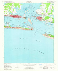
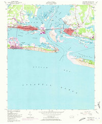
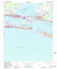
Editions of this 1949 Beaufort Map
6 editions found
Other maps of this area

1949 · Beaufort
USGS Topo · 1:24,000

1949 · Newport
USGS Topo · 1:24,000

1949 · Williston
USGS Topo · 1:24,000

1949 · Harkers Island
USGS Topo · 1:24,000

1949 · Mansfield
USGS Topo · 1:24,000

1949 · Core Creek
USGS Topo · 1:24,000

1951 · Williston
USGS Topo · 1:24,000

1951 · Newport
USGS Topo · 1:24,000

1951 · Core Creek
USGS Topo · 1:24,000
1951 · Peltier Creek
USGS Topo · 1:24,000