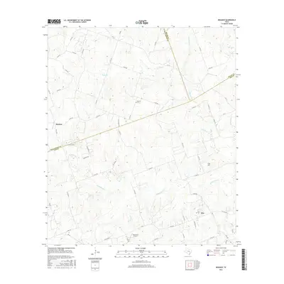
2016 Map of Beaukiss
USGS Topo · Published 2016About this map
Beaukiss and the smaller community of Blue anchor this rural landscape where Williamson, Milam, and Lee Counties meet. The terrain is defined by a dense network of tributaries including Middle Yegua Cr, Cottonwood Cr, and Sand Br, which weave between the low rises of Clay Hill. The layout of the land reflects a traditional agricultural and ranching pattern, with numerous county roads such as Post Oak Rd and Adina Church Rd connecting scattered homesteads and family sites.
Find a feature on this map
68 named features on this map. Tap any name to fly to it.
Don’t see what you’re looking for? This feature index may not catch every label — zoom into the map to look around manually.
Map Details
Editions of this 2016 Beaukiss Map
This is the sole edition of this map. No revisions or reprints were ever made.
Other maps of this area

1885 · Taylor
USGS Topo · 1:125,000

1885 · Bastrop
USGS Topo · 1:125,000

1887 · Taylor
USGS Topo · 1:125,000

1893 · Bastrop
USGS Topo · 1:125,000

1894 · Taylor
USGS Topo · 1:125,000

1904 · Bastrop
USGS Topo · 1:125,000

1948 · Elgin
USGS Topo · 1:62,500

1948 · Lexington
USGS Topo · 1:62,500

1950 · Lexington
USGS Topo · 1:62,500

1950 · Elgin
USGS Topo · 1:62,500