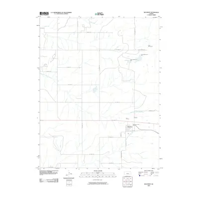
2009 Map of Beaumont
USGS Topo · Published 2009About this map
Beaumont serves as the primary hub of this Flint Hills landscape, where the intersection of regional history and rural infrastructure is clearly visible. The settlement is flanked by Butts Cemetery and Beaumont Cemetery, providing valuable points of reference for genealogists tracking local families. The aviation history of the area is highlighted by the Beaumont Hotel Airport, while recreational or organizational land use is represented by Camp Wiedemann in the northeast.
Find a feature on this map
33 named features on this map. Tap any name to fly to it.
Don’t see what you’re looking for? This feature index may not catch every label — zoom into the map to look around manually.
Map Details
Editions of this 2009 Beaumont Map
This is the sole edition of this map. No revisions or reprints were ever made.
Other maps of this area

1885 · Eureka
USGS Topo · 1:125,000

1888 · Eureka
USGS Topo · 1:125,000

1888 · Eldorado
USGS Topo · 1:125,000

1894 · Eureka
USGS Topo · 1:125,000

1955 · Wichita
USGS Topo · 1:250,000

1958 · Wichita
USGS Topo · 1:250,000

1961 · Pontiac
USGS Topo · 1:24,000

1961 · Rosalia
USGS Topo · 1:24,000
1964 · Piedmont SW
USGS Topo · 1:24,000

1964 · Piedmont NW
USGS Topo · 1:24,000