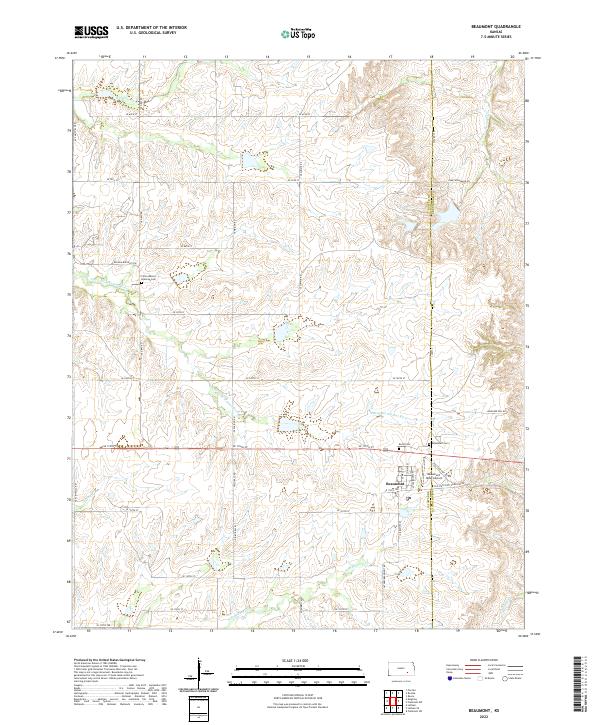
2022 Map of Beaumont
USGS Topo · Published 2022About this map
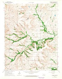
Beaumont serves as the focal point of this Butler County landscape, situated along the border of Butler and Greenwood counties. The area is defined by the headwaters of several drainages, including the S Br Little Walnut River and Nicholas Cr, which carve through the Flint Hills terrain. The town itself retains its distinctive character with the presence of the Beaumont Hotel Airport, a unique aviation landmark where planes have historically taxied down the street to reach the hotel.
Find a feature on this map
45 named features on this map. Tap any name to fly to it.
Don’t see what you’re looking for? This feature index may not catch every label — zoom into the map to look around manually.
Map Details
Editions of this 2022 Beaumont Map
This is the sole edition of this map. No revisions or reprints were ever made.
Other maps of this area
1885 · Eureka
USGS Topo · 1:125,000
1888 · Eureka
USGS Topo · 1:125,000
1888 · Eldorado
USGS Topo · 1:125,000
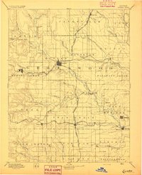
1894 · Eureka
USGS Topo · 1:125,000

1955 · Wichita
USGS Topo · 1:250,000

1958 · Wichita
USGS Topo · 1:250,000
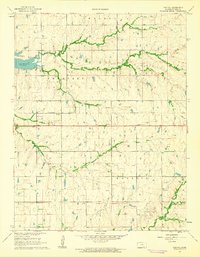
1961 · Pontiac
USGS Topo · 1:24,000
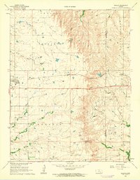
1961 · Rosalia
USGS Topo · 1:24,000
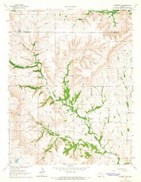
1964 · Piedmont SW
USGS Topo · 1:24,000
1964 · Piedmont NW
USGS Topo · 1:24,000