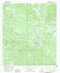
1982 Map of Beaumont
USGS Topo · Published 1982About this map
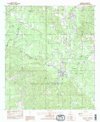
Beaumont serves as the central hub of this Mississippi landscape, situated at a strategic junction where the Illinois Central Gulf Railroad crosses the winding Leaf River. The surrounding area is characterized by the expansive De Soto National Forest, which blankets much of the southern terrain. This 1982 provisional survey captures the transition from small riverfront settlements like Wingate and Benmore to industrial and rail points such as Hercules Station.
Find a feature on this map
50 named features on this map. Tap any name to fly to it.
Don’t see what you’re looking for? This feature index may not catch every label — zoom into the map to look around manually.
Map Details
Editions of this 1982 Beaumont Map
2 editions found
Other maps of this area

1947 · Beaumont
USGS Topo · 1:62,500

1947 · New Augusta
USGS Topo · 1:62,500

1949 · Beaumont
USGS Topo · 1:62,500

1949 · New Augusta
USGS Topo · 1:62,500

1953 · Hattiesburg
USGS Topo · 1:250,000

1958 · Hattiesburg
USGS Topo · 1:250,000

1963 · Brewer
USGS Topo · 1:24,000

1964 · Ovett SE
USGS Topo · 1:24,000

1964 · Richton
USGS Topo · 1:24,000
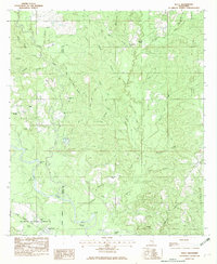
1982 · Neely
USGS Topo · 1:24,000