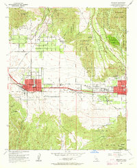
1953 Map of Beaumont
USGS Topo · Published 1962About this map
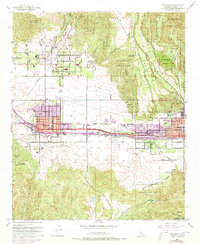
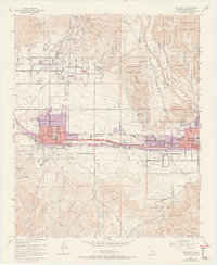
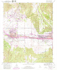
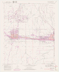
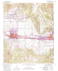
Beaumont and Banning anchor this mid-century survey of the San Gorgonio Pass, a critical corridor between the San Bernardino National Forest and the San Jacinto Mountains. The Southern Pacific railroad follows the natural low ground of the pass, supporting industrial and transit hubs like Pershing Siding. Agricultural and residential expansion is evident in the grid of Cherry Valley, where streets like Orchard Ave and Woodland Ave reflect the area's land-use history.
Find a feature on this map
53 named features on this map. Tap any name to fly to it.
Don’t see what you’re looking for? This feature index may not catch every label — zoom into the map to look around manually.
Map Details
Editions of this 1953 Beaumont Map
10 editions found
Other maps of this area

1899 · Redlands
USGS Topo · 1:62,500

1901 · Southern California Sheet No. 1
USGS Topo · 1:250,000

1901 · San Jacinto
USGS Topo · 1:125,000

1901 · Redlands
USGS Topo · 1:62,500

1901 · Elsinore
USGS Topo · 1:125,000

1902 · San Gorgonio
USGS Topo · 1:125,000

1904 · Southern California Sheet No. 1
USGS Topo · 1:250,000

1942 · Banning
USGS Topo · 1:62,500

1942 · Perris
USGS Topo · 1:62,500

1943 · Perris
USGS Topo · 1:62,500