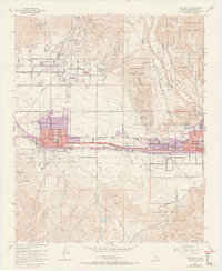
1953 Map of Beaumont
USGS Topo · Published 1973About this map
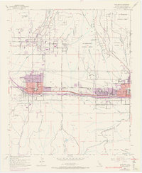
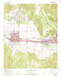
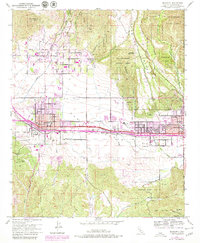
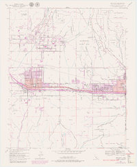
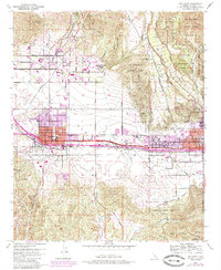
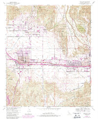
Beaumont and Banning anchor this mid-century topographic study of the San Gorgonio Pass, a critical transit corridor shaped by the Southern Pacific railroad. The map documents a period of suburban expansion into the foothills, with purple-tinted revisions highlighting growth around Cherry Valley and the northern reaches of both primary towns. The landscape is defined by the sharp transition from the residential blocks of Banning to the steep slopes of the Banning Bench and the San Bernardino National Forest. Local institutional history is well-represented, from the St Boniface School near the eastern edge to the San Gorgonio Pass Memorial Hospital and several schools serving the post-war population. Significant open spaces like the Morongo Indian Res and Bogart County Park illustrate the geographic complexity of this mountain-flanked valley.
Find a feature on this map
43 named features on this map. Tap any name to fly to it.
Don’t see what you’re looking for? This feature index may not catch every label — zoom into the map to look around manually.
Map Details
Editions of this 1953 Beaumont Map
10 editions found
Other maps of this area

1899 · Redlands
USGS Topo · 1:62,500

1901 · Southern California Sheet No. 1
USGS Topo · 1:250,000

1901 · San Jacinto
USGS Topo · 1:125,000

1901 · Redlands
USGS Topo · 1:62,500

1901 · Elsinore
USGS Topo · 1:125,000

1902 · San Gorgonio
USGS Topo · 1:125,000

1904 · Southern California Sheet No. 1
USGS Topo · 1:250,000

1942 · Banning
USGS Topo · 1:62,500

1942 · Perris
USGS Topo · 1:62,500

1943 · Perris
USGS Topo · 1:62,500