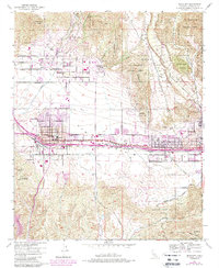
1953 Map of Beaumont
USGS Topo · Published 1988About this map
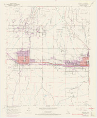
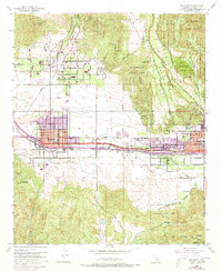
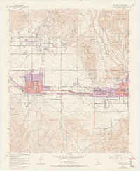
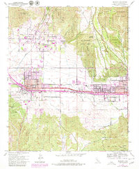
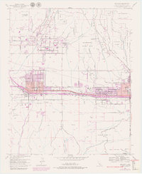
The San Gorgonio Pass serves as a critical corridor between the San Bernardino National Forest and the San Jacinto River, framing the development of Beaumont and Banning during the mid-twentieth century. This 1953 survey, with revisions updated to 1988, illustrates a landscape defined by its transit roots along the Southern Pacific railroad and the concentrated grid of Orchard, Woodland, and Brookside Avenues. Significant local infrastructure including the San Gorgonio Pass Memorial Hospital and Radio Sta KPAC highlight the region's mid-century growth as a service hub. To the north, Cherry Valley remains a distinct community near the headwaters of Noble Creek, while the southern portion of the map is dominated by the sprawling Morongo Indian Res and the peaks of Mt Davis and Mt Edna.
Find a feature on this map
35 named features on this map. Tap any name to fly to it.
Don’t see what you’re looking for? This feature index may not catch every label — zoom into the map to look around manually.
Map Details
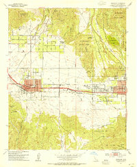
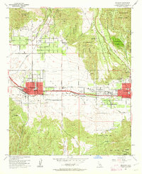
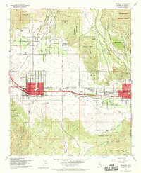
Editions of this 1953 Beaumont Map
10 editions found
Other maps of this area

1899 · Redlands
USGS Topo · 1:62,500

1901 · Southern California Sheet No. 1
USGS Topo · 1:250,000

1901 · San Jacinto
USGS Topo · 1:125,000

1901 · Redlands
USGS Topo · 1:62,500

1901 · Elsinore
USGS Topo · 1:125,000

1902 · San Gorgonio
USGS Topo · 1:125,000

1904 · Southern California Sheet No. 1
USGS Topo · 1:250,000

1942 · Banning
USGS Topo · 1:62,500

1942 · Perris
USGS Topo · 1:62,500

1943 · Perris
USGS Topo · 1:62,500