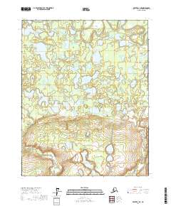
2017 Map of Beaver A-1 NE
USGS Topo · Published 2017About this map
Yukon Flats dominates this portion of the interior, characterized by an intricate network of wetlands and seasonal ponds. The meandering course of Beaver Creek winds through the northern edge of the sheet, feeding a system of shallow water bodies including Shallow Lake and Beaver Lake. The terrain is remarkably flat, defined by broad open areas such as Big Meadow and Jefferson Meadows that indicate a landscape shaped by fluvial processes and shifting drainage patterns.
Find a feature on this map
14 named features on this map. Tap any name to fly to it.
Don’t see what you’re looking for? This feature index may not catch every label — zoom into the map to look around manually.
Map Details
Editions of this 2017 Beaver A-1 NE Map
This is the sole edition of this map. No revisions or reprints were ever made.
Other maps of this area

1951 · Fort Yukon
USGS Topo · 1:250,000

1951 · Beaver
USGS Topo · 1:250,000

1956 · Fort Yukon B-6
USGS Topo · 1:63,360
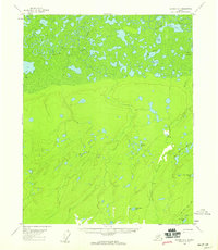
1956 · Beaver A-1
USGS Topo · 1:63,360
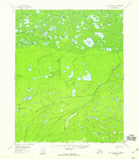
1956 · Fort Yukon A-6
USGS Topo · 1:63,360

1956 · Beaver
USGS Topo · 1:250,000

1956 · Beaver B-1
USGS Topo · 1:63,360

1956 · Fort Yukon
USGS Topo · 1:250,000

1964 · Beaver
USGS Topo · 1:250,000
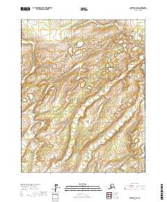
2017 · Beaver A-1 SW
USGS Topo · 1:25,000