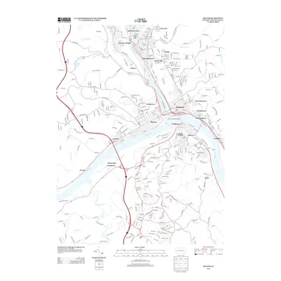
2013 Map of Beaver
USGS Topo · Published 2013About this map
The confluence of the Beaver River and the Ohio River forms the industrial and geographic heart of this Beaver County survey. Dense residential and commercial street grids characterize riverfront communities like Beaver Falls, New Brighton, Rochester, and Monaca, which were established around the vital waterways and the NS rail corridor. The river crossings are particularly notable, including the Tenth Street Bridge connecting Patterson Heights and the Monaca Rochester Bridge downstream.
Find a feature on this map
346 named features on this map. Tap any name to fly to it.
Don’t see what you’re looking for? This feature index may not catch every label — zoom into the map to look around manually.
Map Details
Editions of this 2013 Beaver Map
This is the sole edition of this map. No revisions or reprints were ever made.
Other maps of this area

1901 · Beaver
USGS Topo · 1:62,500

1902 · New Castle
USGS Topo · 1:62,500

1904 · Newcastle
USGS Topo · 1:62,500

1904 · Beaver
USGS Topo · 1:62,500

1906 · Sewickley
USGS Topo · 1:62,500

1908 · Sewickley
USGS Topo · 1:62,500

1908 · Zelienople
USGS Topo · 1:62,500

1910 · Zelienople
USGS Topo · 1:62,500

1951 · Canton
USGS Topo · 1:250,000

1953 · Canton
USGS Topo · 1:250,000