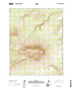
2017 Map of Beaver C-1 NW
USGS Topo · Published 2017About this map
Twentynine Mile Ridge dominates this interior Alaska landscape, serving as a prominent topographic divide within the Yukon-Koyukuk region. This 2017 survey details a remote drainage network where seasonal waterways flow from the high ground of the ridge into the surrounding basins. To the north, the headwaters of Thirtytwo Mile Cr wind through the township of T22N R2E, while the southern slopes are drained by the upper reaches of Twentyfour Mile Cr and Fortymile Cr. The map illustrates a wilderness largely defined by its natural contours and hydrography, showing the precise path of these creeks as they navigate the varied elevations of the Alaskan interior before the seasonal freeze.
Find a feature on this map
8 named features on this map. Tap any name to fly to it.
Don’t see what you’re looking for? This feature index may not catch every label — zoom into the map to look around manually.
Map Details
Editions of this 2017 Beaver C-1 NW Map
This is the sole edition of this map. No revisions or reprints were ever made.
Other maps of this area

1951 · Beaver
USGS Topo · 1:250,000

1956 · Beaver
USGS Topo · 1:250,000

1964 · Beaver
USGS Topo · 1:250,000
1990 · Beaver C-2
USGS Topo · 1:63,360
1990 · Beaver D-2
USGS Topo · 1:63,360
1990 · Beaver D-1
USGS Topo · 1:63,360
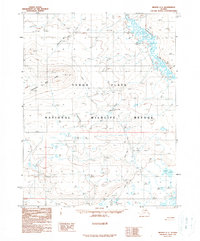
1990 · Beaver C-1
USGS Topo · 1:63,360
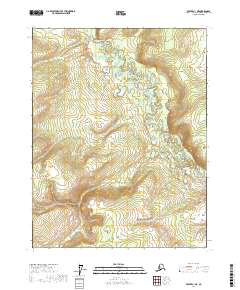
2017 · Beaver C-1 NE
USGS Topo · 1:25,000
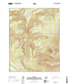
2017 · Beaver C-2 NE
USGS Topo · 1:25,000
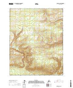
2017 · Beaver C-1 SW
USGS Topo · 1:25,000