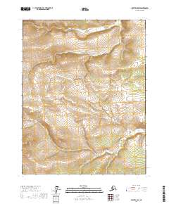
2017 Map of Beaver C-5 SW
USGS Topo · Published 2017About this map
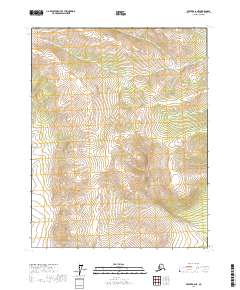
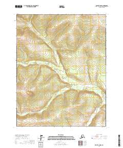
The Hodzana River flows across the northern reaches of this interior Alaskan wilderness, cutting through the high country of the Yukon-Koyukuk region. This topographic study reveals a landscape defined by dramatic elevation changes, with the river valley situated between high ridges that rise toward the south. Along the southern edge of the quadrangle, the Mud Fork begins its course, draining the southern slopes. The map is primarily an examination of hydrology and terrain, showing the complex drainage patterns and township boundaries including t21n r9w and t20n r8w that organize this remote territory. For those studying the geography of the northern interior, the map provides precise contour data and watercourse locations in a region without established road infrastructure.
Find a feature on this map
8 named features on this map. Tap any name to fly to it.
Don’t see what you’re looking for? This feature index may not catch every label — zoom into the map to look around manually.
Map Details
Editions of this 2017 Beaver C-5 SW Map
This is the sole edition of this map. No revisions or reprints were ever made.
Other maps of this area

1951 · Beaver
USGS Topo · 1:250,000

1956 · Beaver B-5
USGS Topo · 1:63,360

1956 · Beaver
USGS Topo · 1:250,000

1964 · Beaver
USGS Topo · 1:250,000
1970 · Beaver C-6
USGS Topo · 1:63,360

1970 · Beaver B-6
USGS Topo · 1:63,360
1970 · Beaver C-5
USGS Topo · 1:63,360
2017 · Beaver C-5 NE
USGS Topo · 1:25,000
2017 · Beaver B-6 NE
USGS Topo · 1:25,000
2017 · Beaver C-5 NW
USGS Topo · 1:25,000