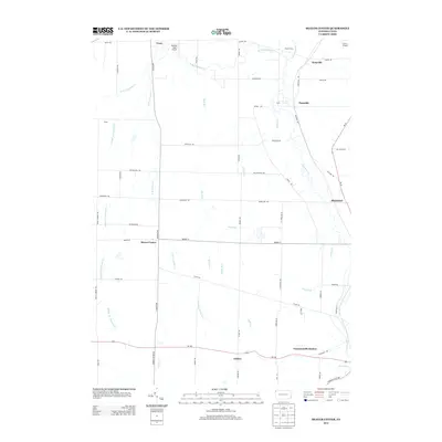
2013 Map of Beaver Center
USGS Topo · Published 2013About this map
Beaver Center and the surrounding rural landscapes of Crawford County are defined by a complex network of waterways and small crossroads settlements. The western, eastern, and middle branches of W Br Conneaut Cr converge and flow through the region, alongside other drainage systems like Mud Run and Crazy Run. Small communities such as Keepville, Pennside, Shadeland, and Conneautville Station are connected by a grid of local routes including Philadelphia Rd and Shadeland Rd. The presence of Marther Field Airport and G & N Airport indicates local aviation activity within this predominantly agricultural and wooded terrain. From the northern edge at Tracy down to Palmer in the south, the map documents the persistent rural character and geographic features of the Pennsylvania countryside, providing a clear record of the area's infrastructure and natural hydrology.
Find a feature on this map
58 named features on this map. Tap any name to fly to it.
Don’t see what you’re looking for? This feature index may not catch every label — zoom into the map to look around manually.
Map Details
Editions of this 2013 Beaver Center Map
This is the sole edition of this map. No revisions or reprints were ever made.
Other maps of this area

1900 · Girard
USGS Topo · 1:62,500

1905 · Andover
USGS Topo · 1:48,000

1906 · Conneaut
USGS Topo · 1:62,500

1906 · Linesville
USGS Topo · 1:62,500

1907 · Andover
USGS Topo · 1:62,500

1908 · Linesville
USGS Topo · 1:62,500

1950 · Cleveland
USGS Topo · 1:250,000

1956 · Cleveland
USGS Topo · 1:250,000

1959 · Conneautville
USGS Topo · 1:24,000

1959 · East Springfield
USGS Topo · 1:24,000