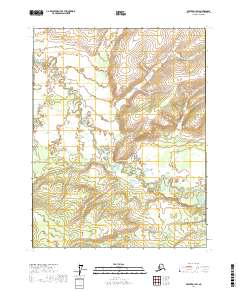
2017 Map of Beaver D-1 SW
USGS Topo · Published 2017About this map
Hadweenzic River meanders through this interior Alaska landscape, creating a complex network of oxbow lakes and wetlands within the Yukon-Koyukuk region. The river's winding course is the dominant geographical feature, accompanied by several seasonally fluctuating tributaries. The nomenclature of these streams, such as Fortytwo Mile Cr, Forty and One-half Mile Cr, and Fortymile Cr, suggests a landscape once defined by travel distances and river navigation. In the southern reaches of the quadrangle, Thirtytwo Mile Cr joins the drainage system. This survey reflects the undeveloped character of the territory, where the terrain is shaped entirely by the shifting hydrology of the river basin rather than human infrastructure or permanent settlements.
Find a feature on this map
11 named features on this map. Tap any name to fly to it.
Don’t see what you’re looking for? This feature index may not catch every label — zoom into the map to look around manually.
Map Details
Editions of this 2017 Beaver D-1 SW Map
This is the sole edition of this map. No revisions or reprints were ever made.
Other maps of this area

1951 · Beaver
USGS Topo · 1:250,000

1956 · Beaver
USGS Topo · 1:250,000

1964 · Beaver
USGS Topo · 1:250,000
1990 · Beaver C-2
USGS Topo · 1:63,360
1990 · Beaver D-2
USGS Topo · 1:63,360
1990 · Beaver D-1
USGS Topo · 1:63,360
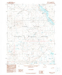
1990 · Beaver C-1
USGS Topo · 1:63,360
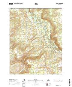
2017 · Beaver C-1 NE
USGS Topo · 1:25,000
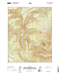
2017 · Beaver C-2 NE
USGS Topo · 1:25,000
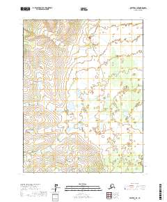
2017 · Beaver D-1 NE
USGS Topo · 1:25,000