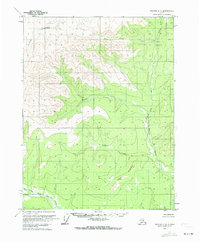
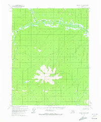
1970 Map of Beaver D-4
USGS Topo · Published 1973About this map
The Pitka Fork Hodzana River and Granite Fork Hodzana River drain this high-latitude terrain, where human presence is defined by a few isolated outposts of activity. Near the confluence of Slate Creek and the Pitka Fork, a Cabin, a Landing Strip, and a Prospect indicate the intersection of wilderness survival and resource exploration. These labels point to the type of small-scale mining and seasonal habitation common in the Alaskan interior during the 1970s.
Find a feature on this map
12 named features on this map. Tap any name to fly to it.
Don’t see what you’re looking for? This feature index may not catch every label — zoom into the map to look around manually.
Map Details
Editions of this 1970 Beaver D-4 Map
This is the sole edition of this map. No revisions or reprints were ever made.
Other maps of this area

1951 · Chandalar
USGS Topo · 1:250,000

1951 · Beaver
USGS Topo · 1:250,000

1956 · Chandalar
USGS Topo · 1:250,000

1956 · Beaver
USGS Topo · 1:250,000

1964 · Chandalar
USGS Topo · 1:250,000

1964 · Beaver
USGS Topo · 1:250,000
1970 · Beaver D-5
USGS Topo · 1:63,360
1970 · Beaver C-5
USGS Topo · 1:63,360
1970 · Chandalar A-5
USGS Topo · 1:63,360
1970 · Beaver C-4
USGS Topo · 1:63,360