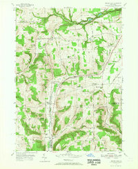
1953 Map of Beaver Dams
USGS Topo · Published 1955About this map
Watkins Glen State Park anchors the northeastern corner of this mid-century landscape, where the dramatic gorges of Watkins Glen meet the agrarian uplands of Dix and Catlin. The settlement pattern reflects a deeply rooted rural community, connected by the New York Central railroad corridor that runs south through Beaver Dams and Chambers. Genealogists will find significant detail in the distribution of local institutions, including numerous one-room schoolhouses like North Beaver Dams Sch and Upper Moreland Sch, alongside family resting places such as Savory Cem. The terrain is defined by the high ground of Baker Hill and Watkins Hill, with water drainages like Townsend Creek and Post Creek carving through the valleys. This survey captures a moment when small hamlets like Shequaga and Moreland remained distinct centers of rural life before the consolidation of the late 20th century.
Find a feature on this map
49 named features on this map. Tap any name to fly to it.
Don’t see what you’re looking for? This feature index may not catch every label — zoom into the map to look around manually.
Map Details
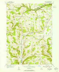
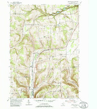
Editions of this 1953 Beaver Dams Map
Other maps of this area

1895 · Elmira
USGS Topo · 1:62,500

1898 · Watkins Glen
USGS Topo · 1:62,500

1901 · Watkins
USGS Topo · 1:62,500

1903 · Hammondsport
USGS Topo · 1:62,500

1905 · Watkins Glen
USGS Topo · 1:125,000

1914 · Corning
USGS Topo · 1:62,500

1944 · Corning
USGS Topo · 1:62,500

1950 · Elmira
USGS Topo · 1:250,000
1950 · Burdett
USGS Topo · 1:24,000

1950 · Montour Falls
USGS Topo · 1:24,000