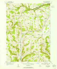
1953 Map of Beaver Dams
USGS Topo · Published 1967About this map
New York Central rail lines anchor the valley floor of this mid-century survey, tracing the corridor between Beaver Dams and Chambers. The landscape is a mix of high ridge country and deep glacial cuts, where the State Park at Watkins Glen reveals the dramatic descent of water from the hills toward the Finger Lakes region. Small rural settlements like Townsend and Wedgewood are connected by a network of family-named roads, indicating a deeply rooted agricultural and residential community.
Find a feature on this map
43 named features on this map. Tap any name to fly to it.
Don’t see what you’re looking for? This feature index may not catch every label — zoom into the map to look around manually.
Map Details
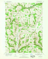
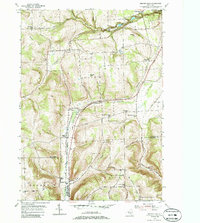
Editions of this 1953 Beaver Dams Map
Other maps of this area

1895 · Elmira
USGS Topo · 1:62,500

1898 · Watkins Glen
USGS Topo · 1:62,500

1901 · Watkins
USGS Topo · 1:62,500

1903 · Hammondsport
USGS Topo · 1:62,500

1905 · Watkins Glen
USGS Topo · 1:125,000

1914 · Corning
USGS Topo · 1:62,500

1944 · Corning
USGS Topo · 1:62,500

1950 · Elmira
USGS Topo · 1:250,000
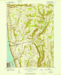
1950 · Burdett
USGS Topo · 1:24,000

1950 · Montour Falls
USGS Topo · 1:24,000