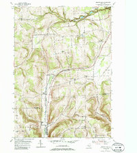
1953 Map of Beaver Dams
USGS Topo · Published 1986About this map
Watkins Glen State Park anchors the northeast corner of this 1953 survey, where the dramatic terrain of Watkins Glen meets the industrial corridor of the New York Central Railroad. The landscape is a mix of steep ravines and upland farming communities, with the railroad cutting a north-south path through the center of the sheet, serving the settlement of Beaver Dams. Further south, the map details the rural character of Chemung and Steuben Counties, featuring numerous family-scale landmarks and local institutions that defined mid-century life in this region of the Finger Lakes.
Find a feature on this map
46 named features on this map. Tap any name to fly to it.
Don’t see what you’re looking for? This feature index may not catch every label — zoom into the map to look around manually.
Map Details
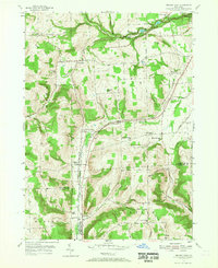
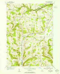
Editions of this 1953 Beaver Dams Map
Other maps of this area

1895 · Elmira
USGS Topo · 1:62,500

1898 · Watkins Glen
USGS Topo · 1:62,500

1901 · Watkins
USGS Topo · 1:62,500

1903 · Hammondsport
USGS Topo · 1:62,500

1905 · Watkins Glen
USGS Topo · 1:125,000

1914 · Corning
USGS Topo · 1:62,500

1944 · Corning
USGS Topo · 1:62,500

1950 · Elmira
USGS Topo · 1:250,000
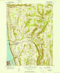
1950 · Burdett
USGS Topo · 1:24,000

1950 · Montour Falls
USGS Topo · 1:24,000