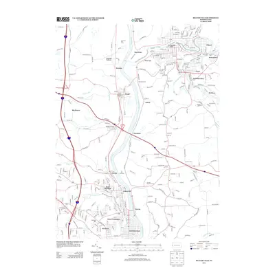
2013 Map of Beaver Falls
USGS Topo · Published 2013About this map
The Beaver River corridor serves as the primary axis for this region of Pennsylvania, where industrial towns and residential neighborhoods align with the winding waterway. The city of Beaver Falls anchors the southern portion of the map, flanked by College Hill, Eastvale, and Mount Washington. These communities reflect the dense settlement patterns typical of the Ohio River valley's tributaries, where topographic constraints shaped urban growth. To the north, the convergence of Slippery Rock Creek and Connoquenessing Creek defines the landscape near Ellwood City and Wurtemburg.
Find a feature on this map
48 named features on this map. Tap any name to fly to it.
Don’t see what you’re looking for? This feature index may not catch every label — zoom into the map to look around manually.
Map Details
Editions of this 2013 Beaver Falls Map
This is the sole edition of this map. No revisions or reprints were ever made.
Other maps of this area

1901 · Beaver
USGS Topo · 1:62,500

1902 · New Castle
USGS Topo · 1:62,500

1904 · Newcastle
USGS Topo · 1:62,500

1904 · Beaver
USGS Topo · 1:62,500

1906 · Sewickley
USGS Topo · 1:62,500

1908 · Sewickley
USGS Topo · 1:62,500

1908 · Zelienople
USGS Topo · 1:62,500

1910 · Zelienople
USGS Topo · 1:62,500

1951 · Canton
USGS Topo · 1:250,000

1953 · Canton
USGS Topo · 1:250,000