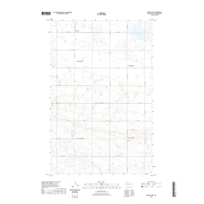
2020 Map of Beaver Lake
USGS Topo · Published 2020About this map
Grand View Lutheran Cem and Tonset Cem are the primary cultural landmarks in this agricultural section of Burke County. The landscape is defined by the prairie pothole region's characteristic hydrology, most notably Beaver Lake in the northeastern corner. This U.S. Geological Survey representation of the area reveals a precise grid of rural township roads, including 100th St NW and Co Rd 7, which divide the sections of t162n r93w and t162n r92w. The terrain shows a subtle rise toward the south, where Foothills Dr skirts more complex contouring near the t161n r92w boundary. For genealogists and local historians, these detailed boundaries and cemetery locations offer a clear view of the rural community structure in the twenty-first century.
Find a feature on this map
17 named features on this map. Tap any name to fly to it.
Don’t see what you’re looking for? This feature index may not catch every label — zoom into the map to look around manually.
Map Details
Editions of this 2020 Beaver Lake Map
This is the sole edition of this map. No revisions or reprints were ever made.
Other maps of this area

1947 · Columbus
USGS Topo · 1:24,000

1948 · Beaver Lake
USGS Topo · 1:24,000

1948 · Stampede
USGS Topo · 1:24,000

1949 · Rennie Lake
USGS Topo · 1:24,000

1949 · Portal
USGS Topo · 1:24,000

1949 · Columbus
USGS Topo · 1:24,000

1949 · Columbus SE
USGS Topo · 1:24,000

1950 · Columbus
USGS Topo · 1:62,500

1950 · Portal
USGS Topo · 1:62,500

1953 · Williston
USGS Topo · 1:250,000