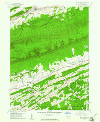
1959 Map of Beaver Springs
USGS Topo · Published 1961About this map
Beaver Springs and Beavertown anchor the northern landscape of this Central Pennsylvania survey, situated along the base of Firestone Ridge. The terrain is dominated by the massive corridor of Shade Mountain, which divides the northern creek valleys from the southern agrarian ridges. This forested expanse within the Bald Eagle State Forest is punctuated by several prominent gaps, including Shellenberger Gap and Ferster Gap, which historically served as vital passage points through the mountain barrier.
Find a feature on this map
60 named features on this map. Tap any name to fly to it.
Don’t see what you’re looking for? This feature index may not catch every label — zoom into the map to look around manually.
Map Details
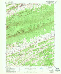
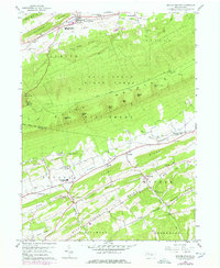
Editions of this 1959 Beaver Springs Map
3 editions found
Other maps of this area

1907 · Millerstown
USGS Topo · 1:62,500

1925 · Mifflintown
USGS Topo · 1:48,000

1934 · Mifflintown
USGS Topo · 1:62,500

1937 · Mifflintown
USGS Topo · 1:62,500

1937 · Millheim
USGS Topo · 1:48,000

1938 · Mifflinburg
USGS Topo · 1:48,000

1941 · Millheim
USGS Topo · 1:62,500

1943 · Millerstown
USGS Topo · 1:62,500

1943 · Mifflinburg
USGS Topo · 1:62,500

1950 · Harrisburg
USGS Topo · 1:250,000
Featured Places
- Beaver Springs, Spring Township
- Monroe Township, PA
- West Perry Township, PA
- Spring Township, PA
- West Beaver Township, PA