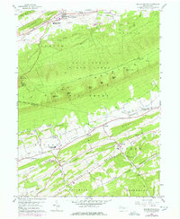
1959 Map of Beaver Springs
USGS Topo · Published 1978About this map
Shade Mountain and its numerous gaps, including Romig Gap and Shellenberger Gap, dominate the central topography of this central Pennsylvania landscape. In the late 1950s, the northern valley centers on the borough of Beaver Springs and the neighboring community of Beavertown, where the West Snyder High Sch serves the local population. The map reveals a transition from the agricultural lowlands of Fayette Valley to the heavily forested ridges of the Bald Eagle State Forest.
Find a feature on this map
64 named features on this map. Tap any name to fly to it.
Don’t see what you’re looking for? This feature index may not catch every label — zoom into the map to look around manually.
Map Details
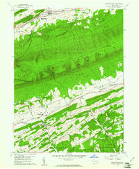
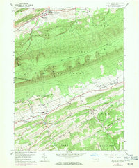
Editions of this 1959 Beaver Springs Map
3 editions found
Other maps of this area

1907 · Millerstown
USGS Topo · 1:62,500

1925 · Mifflintown
USGS Topo · 1:48,000

1934 · Mifflintown
USGS Topo · 1:62,500

1937 · Mifflintown
USGS Topo · 1:62,500

1937 · Millheim
USGS Topo · 1:48,000

1938 · Mifflinburg
USGS Topo · 1:48,000

1941 · Millheim
USGS Topo · 1:62,500

1943 · Millerstown
USGS Topo · 1:62,500

1943 · Mifflinburg
USGS Topo · 1:62,500

1950 · Harrisburg
USGS Topo · 1:250,000
Featured Places
- Beaver Springs, Spring Township
- Monroe Township, PA
- West Perry Township, PA
- Spring Township, PA
- West Beaver Township, PA