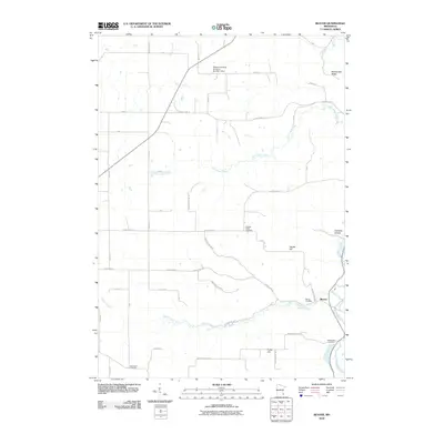
2010 Map of Beaver
USGS Topo · Published 2010About this map
Beaver sits at the confluence of several waterways where the valley floor widens, serving as a focal point for this rural Winona County landscape. The settlement is surrounded by a network of creeks and ridges, including the Whitewater River and Beaver Creek, which carve deep paths through the local terrain. The distribution of family and community burial grounds, such as Hoosier Ridge Cemetery, Beaver Cemetery, and Woodlawn Cemetery, points to the long-established agricultural roots of the area.
Find a feature on this map
45 named features on this map. Tap any name to fly to it.
Don’t see what you’re looking for? This feature index may not catch every label — zoom into the map to look around manually.
Map Details
Editions of this 2010 Beaver Map
This is the sole edition of this map. No revisions or reprints were ever made.
Other maps of this area

1932 · Cochrane
USGS Topo · 1:62,500

1932 · Wabasha
USGS Topo · 1:62,500

1932 · Alma
USGS Topo · 1:62,500

1934 · Plainview
USGS Topo · 1:62,500

1934 · Cochrane
USGS Topo · 1:62,500

1937 · Cochrane
USGS Topo · 1:62,500

1938 · Plainview
USGS Topo · 1:62,500

1950 · Alma
USGS Topo · 1:62,500

1951 · Wabasha
USGS Topo · 1:62,500

1953 · Saint Paul
USGS Topo · 1:250,000