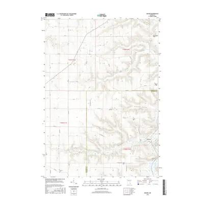
2016 Map of Beaver
USGS Topo · Published 2016About this map
Whitewater River and its various tributaries, including Beaver Cr and E Indian Cr, carve through the complex topography of southeast Minnesota at the junction of Wabasha and Winona counties. The settlement of Beaver sits at the foot of these steep blufflands, surrounded by prominent terrain features such as Hoosier Ridge and Rattlesnake Ridge. The map reveals a rural landscape dominated by ridge-top and valley-bottom roads, including Co HWY 30 and Co HWY 26, which connect isolated farmsteads and historic burial sites. Genealogists will find several notable cemeteries recorded here, such as Beaver Cem, Hoosier Ridge Cem, and Woodlawn Cem. This area, part of the Driftless Area's characteristic coulees and ridges, shows a distinct settlement pattern where development is constrained by the winding paths of Glendale Hollow and the surrounding heights like Jacobs Hill.
Find a feature on this map
49 named features on this map. Tap any name to fly to it.
Don’t see what you’re looking for? This feature index may not catch every label — zoom into the map to look around manually.
Map Details
Editions of this 2016 Beaver Map
This is the sole edition of this map. No revisions or reprints were ever made.
Other maps of this area

1932 · Cochrane
USGS Topo · 1:62,500

1932 · Wabasha
USGS Topo · 1:62,500

1932 · Alma
USGS Topo · 1:62,500

1934 · Plainview
USGS Topo · 1:62,500

1934 · Cochrane
USGS Topo · 1:62,500

1937 · Cochrane
USGS Topo · 1:62,500

1938 · Plainview
USGS Topo · 1:62,500

1950 · Alma
USGS Topo · 1:62,500

1951 · Wabasha
USGS Topo · 1:62,500

1953 · Saint Paul
USGS Topo · 1:250,000