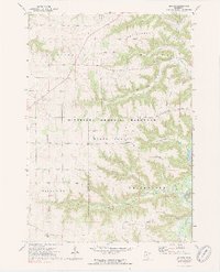
1972 Map of Beaver
USGS Topo · Published 1975About this map
Beaver sits near the junction of the Whitewater River and Beaver Creek, where the river valley cuts deep into the plateau of southeastern Minnesota. The 1972 landscape is defined by the Minnesota Memorial Hardwood State Forest, preserving the steep bluffs of Rattlesnake Ridge and Hoosier Ridge. These high ridges separate the drainage of Snake Creek to the north from the Whitewater valley to the south.
Find a feature on this map
23 named features on this map. Tap any name to fly to it.
Don’t see what you’re looking for? This feature index may not catch every label — zoom into the map to look around manually.
Map Details
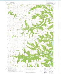
Editions of this 1972 Beaver Map
2 editions found
Other maps of this area

1932 · Cochrane
USGS Topo · 1:62,500

1932 · Wabasha
USGS Topo · 1:62,500

1932 · Alma
USGS Topo · 1:62,500

1934 · Plainview
USGS Topo · 1:62,500

1934 · Cochrane
USGS Topo · 1:62,500

1937 · Cochrane
USGS Topo · 1:62,500

1938 · Plainview
USGS Topo · 1:62,500

1950 · Alma
USGS Topo · 1:62,500

1951 · Wabasha
USGS Topo · 1:62,500

1953 · Saint Paul
USGS Topo · 1:250,000