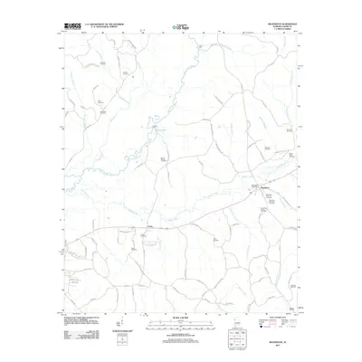
2011 Map of Beaverton
USGS Topo · Published 2011About this map
Beaverton sits at the heart of this landscape, where the Beaverton Post Office serves as a central landmark for the surrounding rural communities of Lamar County. The area is defined by the winding course of the Buttahatchee River and Beaver Creek, creating a network of floodplains and tributary branches. Genealogists will find an exceptional density of family-named cemeteries, including the Beaverton Memorial Cemetery, Sizemore Memorial Cemetery, and Nolen Cemetery, providing a clear record of local lineage across the countryside.
Find a feature on this map
99 named features on this map. Tap any name to fly to it.
Don’t see what you’re looking for? This feature index may not catch every label — zoom into the map to look around manually.
Map Details
Editions of this 2011 Beaverton Map
This is the sole edition of this map. No revisions or reprints were ever made.
Other maps of this area

1953 · Birmingham
USGS Topo · 1:250,000

1953 · West Point
USGS Topo · 1:250,000

1956 · Birmingham
USGS Topo · 1:250,000

1956 · Gadsden
USGS Topo · 1:250,000

1956 · Tupelo
USGS Topo · 1:250,000

1957 · Birmingham
USGS Topo · 1:250,000

1958 · Tupelo
USGS Topo · 1:250,000

1958 · West Point
USGS Topo · 1:250,000

1958 · Gadsden
USGS Topo · 1:250,000

1960 · Gadsden
USGS Topo · 1:250,000