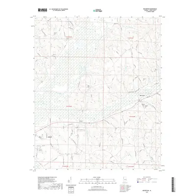
2018 Map of Beaverton
USGS Topo · Published 2018About this map
The Buttahatchee River meanders across this portion of Lamar County, defining a landscape of low-lying wetlands and creek bottoms such as Beaver Cr and Loggains Br. The settlement pattern is concentrated along the higher ground above the river valley, with Beaverton serving as a central hub alongside the smaller community of Crews. To the southwest, the edge of Sulligent appears, connected by a network of rural routes like Jackson Military Rd and Crutchfield Rd.
Find a feature on this map
100 named features on this map. Tap any name to fly to it.
Don’t see what you’re looking for? This feature index may not catch every label — zoom into the map to look around manually.
Map Details
Editions of this 2018 Beaverton Map
This is the sole edition of this map. No revisions or reprints were ever made.
Other maps of this area

1953 · Birmingham
USGS Topo · 1:250,000

1953 · West Point
USGS Topo · 1:250,000

1956 · Birmingham
USGS Topo · 1:250,000

1956 · Gadsden
USGS Topo · 1:250,000

1956 · Tupelo
USGS Topo · 1:250,000

1957 · Birmingham
USGS Topo · 1:250,000

1958 · Tupelo
USGS Topo · 1:250,000

1958 · West Point
USGS Topo · 1:250,000

1958 · Gadsden
USGS Topo · 1:250,000

1960 · Gadsden
USGS Topo · 1:250,000