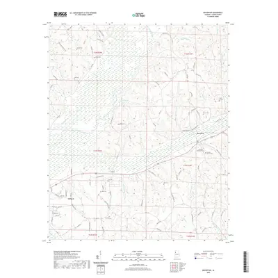
2020 Map of Beaverton
USGS Topo · Published 2020About this map
Beaverton and Sulligent anchor this portion of Lamar County, where the Buttahatchee River meanders through a landscape defined by its rural settlements and numerous family-named landmarks. The area around Crews and the eastern edge of Sulligent shows a high density of local heritage sites, including the Crews Cem, Nolen Cem, and Hollis Cem, which serve as vital markers for genealogical research. The river valley is joined by several tributaries such as Beaver Cr and Crews Mill Br, indicating the historical importance of these watercourses for early local industry and travel.
Find a feature on this map
97 named features on this map. Tap any name to fly to it.
Don’t see what you’re looking for? This feature index may not catch every label — zoom into the map to look around manually.
Map Details
Editions of this 2020 Beaverton Map
This is the sole edition of this map. No revisions or reprints were ever made.
Other maps of this area

1953 · Birmingham
USGS Topo · 1:250,000

1953 · West Point
USGS Topo · 1:250,000

1956 · Birmingham
USGS Topo · 1:250,000

1956 · Gadsden
USGS Topo · 1:250,000

1956 · Tupelo
USGS Topo · 1:250,000

1957 · Birmingham
USGS Topo · 1:250,000

1958 · Tupelo
USGS Topo · 1:250,000

1958 · West Point
USGS Topo · 1:250,000

1958 · Gadsden
USGS Topo · 1:250,000

1960 · Gadsden
USGS Topo · 1:250,000