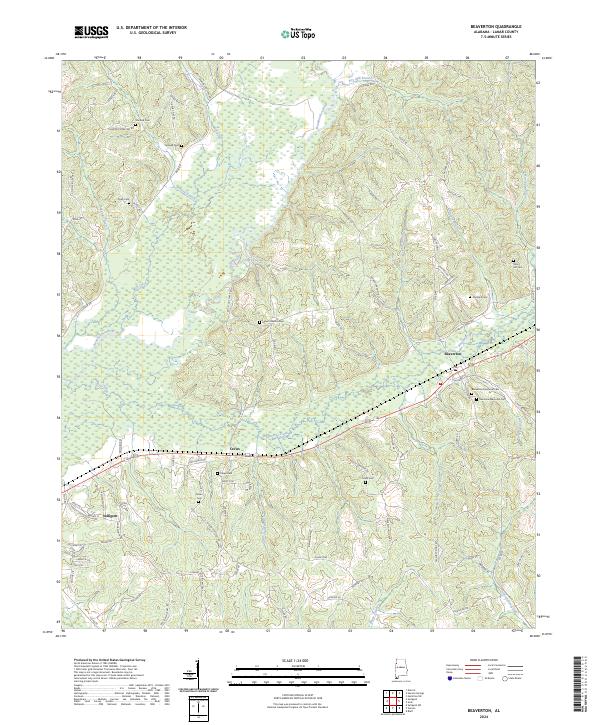
2024 Map of Beaverton
USGS Topo · Published 2024About this map
The Buttahatchee River meanders across the landscape of Lamar County, Alabama, defining the terrain near the small settlements of Beaverton and Crews. This 2024 survey documents a deeply rooted rural community where family names and local history are etched into the geography via numerous burial grounds, including the Mount Hebron Cem, Olive Hill Cem, and Sizemore Memorial Cem. The transportation network is a mixture of state routes and named local corridors like Dinky Line Rd and Military Rd, reflecting layers of infrastructure development. Waterways such as Beaver Creek and Bogue Creek cut through the timbered hills, feeding into the primary river valley. The proximity of Sulligent at the southwestern edge of the sheet indicates the gradual transition from quiet river bottoms to more established town centers.
Find a feature on this map
100 named features on this map. Tap any name to fly to it.
Don’t see what you’re looking for? This feature index may not catch every label — zoom into the map to look around manually.
Map Details
Editions of this 2024 Beaverton Map
This is the sole edition of this map. No revisions or reprints were ever made.
Other maps of this area

1953 · Birmingham
USGS Topo · 1:250,000

1953 · West Point
USGS Topo · 1:250,000

1956 · Birmingham
USGS Topo · 1:250,000

1956 · Gadsden
USGS Topo · 1:250,000

1956 · Tupelo
USGS Topo · 1:250,000

1957 · Birmingham
USGS Topo · 1:250,000

1958 · Tupelo
USGS Topo · 1:250,000

1958 · West Point
USGS Topo · 1:250,000

1958 · Gadsden
USGS Topo · 1:250,000

1960 · Gadsden
USGS Topo · 1:250,000