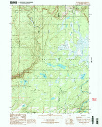
1989 Map of Bechler Falls
USGS Topo · Published 1989About this map
Bechler Meadows serves as the focal point of this 1989 survey, where the Bechler River and Slough Creek meander through the southwestern corner of Yellowstone National Park. The landscape is defined by its water features, including the notable Bechler Falls, Cave Falls, and Silver Scarf Falls. The presence of the Bechler River Ranger Station and Bartlett indicates the operational infrastructure of the park, while the Boundary Creek Trail and Bechler River Trail provide the primary means of movement through the terrain.
Find a feature on this map
29 named features on this map. Tap any name to fly to it.
Don’t see what you’re looking for? This feature index may not catch every label — zoom into the map to look around manually.
Map Details
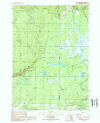
Editions of this 1989 Bechler Falls Map
2 editions found
Other maps of this area

1886 · Shoshone
USGS Topo · 1:125,000

1888 · Shoshone
USGS Topo · 1:125,000

1895 · Shoshone
USGS Topo · 1:125,000

1901 · Shoshone
USGS Topo · 1:125,000

1908 · Shoshone
USGS Topo · 1:125,000

1911 · Shoshone
USGS Topo · 1:125,000

1955 · Ashton
USGS Topo · 1:250,000

1956 · Old Faithful
USGS Topo · 1:62,500

1956 · Grassy Lake Reservoir
USGS Topo · 1:62,500

1957 · Warm River Butte
USGS Topo · 1:62,500