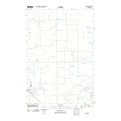
2010 Map of Becker
USGS Topo · Published 2010About this map
The Elk River winds through the southern landscape of this Sherburne County quadrangle, where the growing community of Becker sits at a critical rail and road junction. The terrain is defined by a complex network of wetlands and seasonal water bodies, including Durgin Slough, Lundberg Slough, and Frederickson Slough, illustrating the glacial hydrology of the region. Local history and genealogy are anchored by several distinct burial sites, such as the Danish Cemetery in the northwest and the Snake River Cemetery further east.
Find a feature on this map
67 named features on this map. Tap any name to fly to it.
Don’t see what you’re looking for? This feature index may not catch every label — zoom into the map to look around manually.
Map Details
Editions of this 2010 Becker Map
This is the sole edition of this map. No revisions or reprints were ever made.
Other maps of this area

1953 · Stillwater
USGS Topo · 1:250,000

1955 · Stillwater
USGS Topo · 1:250,000

1958 · Stillwater
USGS Topo · 1:250,000

1961 · Clear Lake
USGS Topo · 1:24,000

1961 · Big Lake
USGS Topo · 1:24,000

1961 · Silver Creek
USGS Topo · 1:24,000

1961 · Orrock
USGS Topo · 1:24,000

1961 · Monticello
USGS Topo · 1:24,000

1961 · Becker
USGS Topo · 1:24,000

1961 · Monticello
USGS Topo · 1:62,500