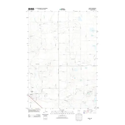
2013 Map of Becker
USGS Topo · Published 2013About this map
Becker serves as the primary hub in this Sherburne County landscape, where the confluence of modern transportation and early rural infrastructure is clearly visible. The Elk River winds through the southern portion of the quadrangle, mirroring the path of the Burlington Northern Santa Fe rail line and the established corridors of the Post Office and local residential developments like Pine Ridge Court. The area's agricultural and social history is grounded by its cemeteries, including the Danish Cem in the northwest and the Snake River Cem situated near the banks of its namesake waterway.
Find a feature on this map
83 named features on this map. Tap any name to fly to it.
Don’t see what you’re looking for? This feature index may not catch every label — zoom into the map to look around manually.
Map Details
Editions of this 2013 Becker Map
This is the sole edition of this map. No revisions or reprints were ever made.
Other maps of this area

1953 · Stillwater
USGS Topo · 1:250,000

1955 · Stillwater
USGS Topo · 1:250,000

1958 · Stillwater
USGS Topo · 1:250,000

1961 · Clear Lake
USGS Topo · 1:24,000

1961 · Big Lake
USGS Topo · 1:24,000

1961 · Silver Creek
USGS Topo · 1:24,000

1961 · Orrock
USGS Topo · 1:24,000

1961 · Monticello
USGS Topo · 1:24,000

1961 · Becker
USGS Topo · 1:24,000

1961 · Monticello
USGS Topo · 1:62,500