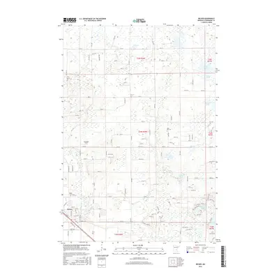
2016 Map of Becker
USGS Topo · Published 2016About this map
The Elk River and Snake River converge near the growing settlement of Becker, illustrating a landscape defined by its glacial hydrology and agricultural development. This 2016 survey provides a detailed look at the township grid system in Sherburne County, where long-established burial grounds like Danish Cem, Snake River Cem, and Becker Cem serve as vital markers for genealogical research. The terrain is characterized by numerous sloughs and depressions, including Durgin, Johnson, and Lundberg Slough, which weave between family-named roads and rural sections. Aviation history is noted at the Schroeder Airport west of the main town site. Large water bodies such as Jim Lake, Eagle Lake, and Big Mud Lake punctuate the northern and eastern portions of the quadrangle, highlighting the region's complex drainage patterns and natural wetland areas.
Find a feature on this map
69 named features on this map. Tap any name to fly to it.
Don’t see what you’re looking for? This feature index may not catch every label — zoom into the map to look around manually.
Map Details
Editions of this 2016 Becker Map
This is the sole edition of this map. No revisions or reprints were ever made.
Other maps of this area

1953 · Stillwater
USGS Topo · 1:250,000

1955 · Stillwater
USGS Topo · 1:250,000

1958 · Stillwater
USGS Topo · 1:250,000

1961 · Clear Lake
USGS Topo · 1:24,000

1961 · Big Lake
USGS Topo · 1:24,000

1961 · Silver Creek
USGS Topo · 1:24,000

1961 · Orrock
USGS Topo · 1:24,000

1961 · Monticello
USGS Topo · 1:24,000

1961 · Becker
USGS Topo · 1:24,000

1961 · Monticello
USGS Topo · 1:62,500