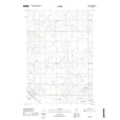
2019 Map of Becker
USGS Topo · Published 2019About this map
Big Lake and Becker anchor this 2019 survey of the Sherburne County landscape, where the Snake River and Elk River wind through a complex system of glacial wetlands and sloughs. The area is defined by a grid of agricultural land and residential growth, punctuated by significant local landmarks such as Schroeder Airport and several historic burial grounds including Danish Cem, Snake River Cem, and Becker Cem. The hydrography of the region is notably diverse, featuring numerous named water bodies like Duffy Lake, Eagle Lake, and expansive wetland areas such as Danzel Slough and Johnson Slough. This map captures the modern infrastructure of the region, from the residential streets of the growing settlements to the network of county roads like Co Rd 67 and Co Rd 47 that connect the farmsteads and rural subdivisions.
Find a feature on this map
91 named features on this map. Tap any name to fly to it.
Don’t see what you’re looking for? This feature index may not catch every label — zoom into the map to look around manually.
Map Details
Editions of this 2019 Becker Map
This is the sole edition of this map. No revisions or reprints were ever made.
Other maps of this area

1953 · Stillwater
USGS Topo · 1:250,000

1955 · Stillwater
USGS Topo · 1:250,000

1958 · Stillwater
USGS Topo · 1:250,000

1961 · Clear Lake
USGS Topo · 1:24,000

1961 · Big Lake
USGS Topo · 1:24,000

1961 · Silver Creek
USGS Topo · 1:24,000

1961 · Orrock
USGS Topo · 1:24,000

1961 · Monticello
USGS Topo · 1:24,000

1961 · Becker
USGS Topo · 1:24,000

1961 · Monticello
USGS Topo · 1:62,500