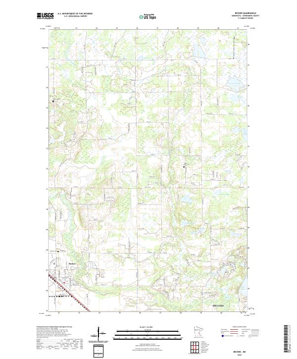
2022 Map of Becker
USGS Topo · Published 2022About this map
Becker and the northern outskirts of Big Lake occupy a landscape defined by the glacial legacy of Sherburne County. The Elk River winds across the southern reaches of the map, while the Snake River cuts through the center, feeding a complex network of wetlands and namesake sloughs. These features, such as Danzel Slough and Lundberg Slough, illustrate the intricate drainage patterns that have historically shaped local land use and development.
Find a feature on this map
79 named features on this map. Tap any name to fly to it.
Don’t see what you’re looking for? This feature index may not catch every label — zoom into the map to look around manually.
Map Details
Editions of this 2022 Becker Map
This is the sole edition of this map. No revisions or reprints were ever made.
Other maps of this area

1953 · Stillwater
USGS Topo · 1:250,000

1955 · Stillwater
USGS Topo · 1:250,000

1958 · Stillwater
USGS Topo · 1:250,000

1961 · Clear Lake
USGS Topo · 1:24,000

1961 · Big Lake
USGS Topo · 1:24,000

1961 · Silver Creek
USGS Topo · 1:24,000

1961 · Orrock
USGS Topo · 1:24,000

1961 · Monticello
USGS Topo · 1:24,000

1961 · Becker
USGS Topo · 1:24,000

1961 · Monticello
USGS Topo · 1:62,500