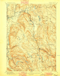
1897 Map of Becket
USGS Topo · Published 1901About this map
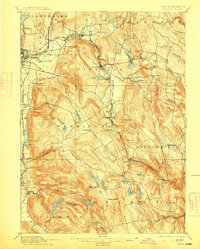
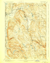
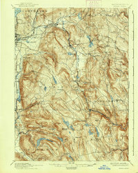
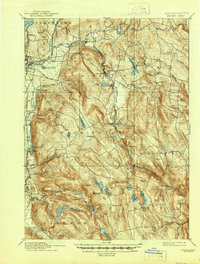
The Housatonic River and the Boston and Albany Railroad dictate the industrial and social geometry of these Berkshire hills at the turn of the century. While Pittsfield anchors the northwest corner, the survey reveals a landscape of high-elevation farming and early manufacturing pockets. Small rail-side nodes like Washington Station and Lenox Furnace contrast with the older, upland community centers of Becket Center and Peru Hill. The map meticulously details the region’s water management, showing the West Branch of Westfield River and numerous reservoirs like Plunkett Reservoir and Ashley Lake, which supported the downstream mills. This 1880s topography preserves the exact placement of local landmarks before 20th-century road realignments changed the character of towns like Hinsdale and Middlefield.
Find a feature on this map
73 named features on this map. Tap any name to fly to it.
Don’t see what you’re looking for? This feature index may not catch every label — zoom into the map to look around manually.
Map Details
Editions of this 1897 Becket Map
8 editions found
Other maps of this area

1885 · Sheffield
USGS Topo · 1:62,500

1886 · Greylock
USGS Topo · 1:62,500

1886 · Hawley
USGS Topo · 1:62,500

1886 · Chesterfield
USGS Topo · 1:62,500

1886 · Becket
USGS Topo · 1:62,500

1887 · Granville
USGS Topo · 1:62,500

1888 · Sheffield
USGS Topo · 1:62,500

1888 · Becket
USGS Topo · 1:62,500

1888 · Berlin
USGS Topo · 1:62,500

1888 · Sandisfield
USGS Topo · 1:62,500