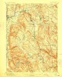
1897 Map of Becket
USGS Topo · Published 1915About this map
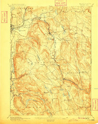
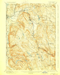
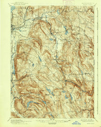
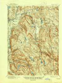
The high Berkshires are defined here by the steep grades of the Boston and Albany railroad as it climbs through the heart of Hinsdale and Washington. This topography shaped the industrial footprint of the era, where the Housatonic River and its various tributaries powered local operations like Lenox Furnace. The map documents a transition between valley manufacturing centers and the upland farming communities of Peru and Middlefield. In the southern reaches of the quadrangle, water resources such as Goose Pond and Ashley Lake are nestled among the peaks, providing early municipal water and recreation. Smaller hamlets like Becket Center and Bancroft appear along the West Branch of Westfield River, illustrating the dispersed settlement patterns typical of the late nineteenth-century Berkshire landscape.
Find a feature on this map
74 named features on this map. Tap any name to fly to it.
Don’t see what you’re looking for? This feature index may not catch every label — zoom into the map to look around manually.
Map Details
Editions of this 1897 Becket Map
8 editions found
Other maps of this area

1885 · Sheffield
USGS Topo · 1:62,500

1886 · Greylock
USGS Topo · 1:62,500

1886 · Hawley
USGS Topo · 1:62,500

1886 · Chesterfield
USGS Topo · 1:62,500

1886 · Becket
USGS Topo · 1:62,500

1887 · Granville
USGS Topo · 1:62,500

1888 · Sheffield
USGS Topo · 1:62,500

1888 · Becket
USGS Topo · 1:62,500

1888 · Berlin
USGS Topo · 1:62,500

1888 · Sandisfield
USGS Topo · 1:62,500