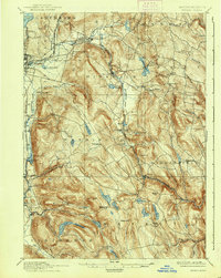
1897 Map of Becket
USGS Topo · Published 1938About this map
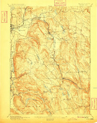
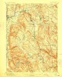
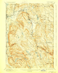
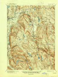
Pittsfield and its industrial fringes at Coltsville and Lenox Furnace define the western edge of this Berkshire highland survey. The landscape is a network of high-altitude water sources, including Ashley Lake and the Ashmere Reservoir, which feed the drainages of the Housatonic River and the West Branch Of Westfield River. In this era, the mountain towns of Washington and Peru were connected by the essential Boston and Albany railroad, which crests the range near the Washington Station P.O.. Local industry and travel are evidenced by small settlements such as Middlefield and Becket Center, situated among prominent peaks like Walling Mt and French Hill. This 1886 reconnaissance work documents the region before modern reforestation, capturing the placement of hillside farms and the early hydraulic infrastructure that powered the valley's mills.
Find a feature on this map
75 named features on this map. Tap any name to fly to it.
Don’t see what you’re looking for? This feature index may not catch every label — zoom into the map to look around manually.
Map Details
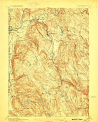
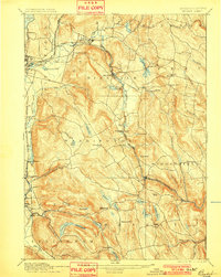
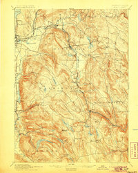
Editions of this 1897 Becket Map
8 editions found
Other maps of this area

1885 · Sheffield
USGS Topo · 1:62,500

1886 · Greylock
USGS Topo · 1:62,500

1886 · Hawley
USGS Topo · 1:62,500

1886 · Chesterfield
USGS Topo · 1:62,500

1886 · Becket
USGS Topo · 1:62,500

1887 · Granville
USGS Topo · 1:62,500

1888 · Sheffield
USGS Topo · 1:62,500

1888 · Becket
USGS Topo · 1:62,500

1888 · Berlin
USGS Topo · 1:62,500

1888 · Sandisfield
USGS Topo · 1:62,500