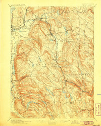
1897 Map of Becket
USGS Topo · Published 1905About this map
The Boston and Albany Railroad defines the industrial and logistical spine of this Berkshire County landscape, following the winding course of the Housatonic River and carving through the central uplands. Small manufacturing and transport hubs such as Lenox Furnace and Washington Station P.O. illustrate the era's reliance on water power and rail access. The map reveals a transition from the developing urban edges of Pittsfield to the higher elevations of Peru Hill and Crane Hill.
Find a feature on this map
67 named features on this map. Tap any name to fly to it.
Don’t see what you’re looking for? This feature index may not catch every label — zoom into the map to look around manually.
Map Details
Editions of this 1897 Becket Map
8 editions found
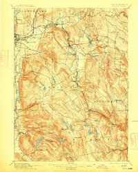
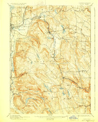
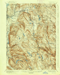
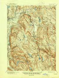
Other maps of this area

1885 · Sheffield
USGS Topo · 1:62,500

1886 · Greylock
USGS Topo · 1:62,500

1886 · Hawley
USGS Topo · 1:62,500

1886 · Chesterfield
USGS Topo · 1:62,500

1886 · Becket
USGS Topo · 1:62,500

1887 · Granville
USGS Topo · 1:62,500

1888 · Sheffield
USGS Topo · 1:62,500

1888 · Becket
USGS Topo · 1:62,500

1888 · Berlin
USGS Topo · 1:62,500

1888 · Sandisfield
USGS Topo · 1:62,500